When one travels in a new place, a good map is an important part of the adventure. A map is used to help keep you on track, to provide context and to provide options for the main routes and those less traveled. Nowadays, print maps are used less and less as online versions are available with a single click and provide often (but not always!) highly accurate directions.
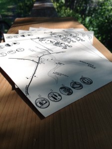
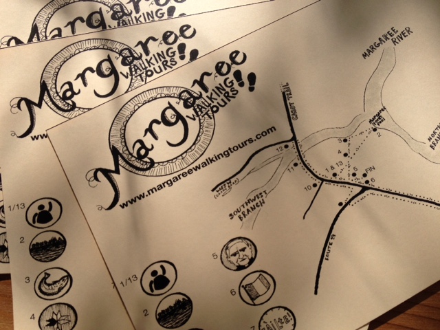
 On the Margaree Walking Tours, each guest will receive their own map. The talented, brilliant and beautiful Sydney-based-but-Margaree-lovin’ artist Alison Uhma has created one especially for the tour. This unique map is hand-drawn and shows the walking tour in relation to the Margaree River and the tour stops along the way.
Alison works in ink, all her art hand-sketched with immaculate detail and clever commentary and composition. She specializes in the best puns and political satire, with splashes of the literary and philosophical. It was a treat sitting down with her to work out the key landmarks, the essential details and the areas for artistic interpretation. We went back and forth with a few versions and I’m so happy to share these first glimpses with you.
The maps are printed on card-stock to hold strong even in the hands of enthusiastic kiddos or thick valley fog. Follow along the route, keeping tabs on the history and natural features along the way. The unique map makes a great memento to remind you of your travels to Margaree, to Cape Breton, or to Nova Scotia this summer. Sometimes it’s worth taking the road less traveled, especially if it’s the old fishermen’s path the river’s shore. To get your own copy, you’ll simply have to come on down to Margaree Forks and catch the noon-time tour.

